NORTH SHORE · BRITISH COLUMBIA, CANADA
Mountain biking inNorth Vancouver
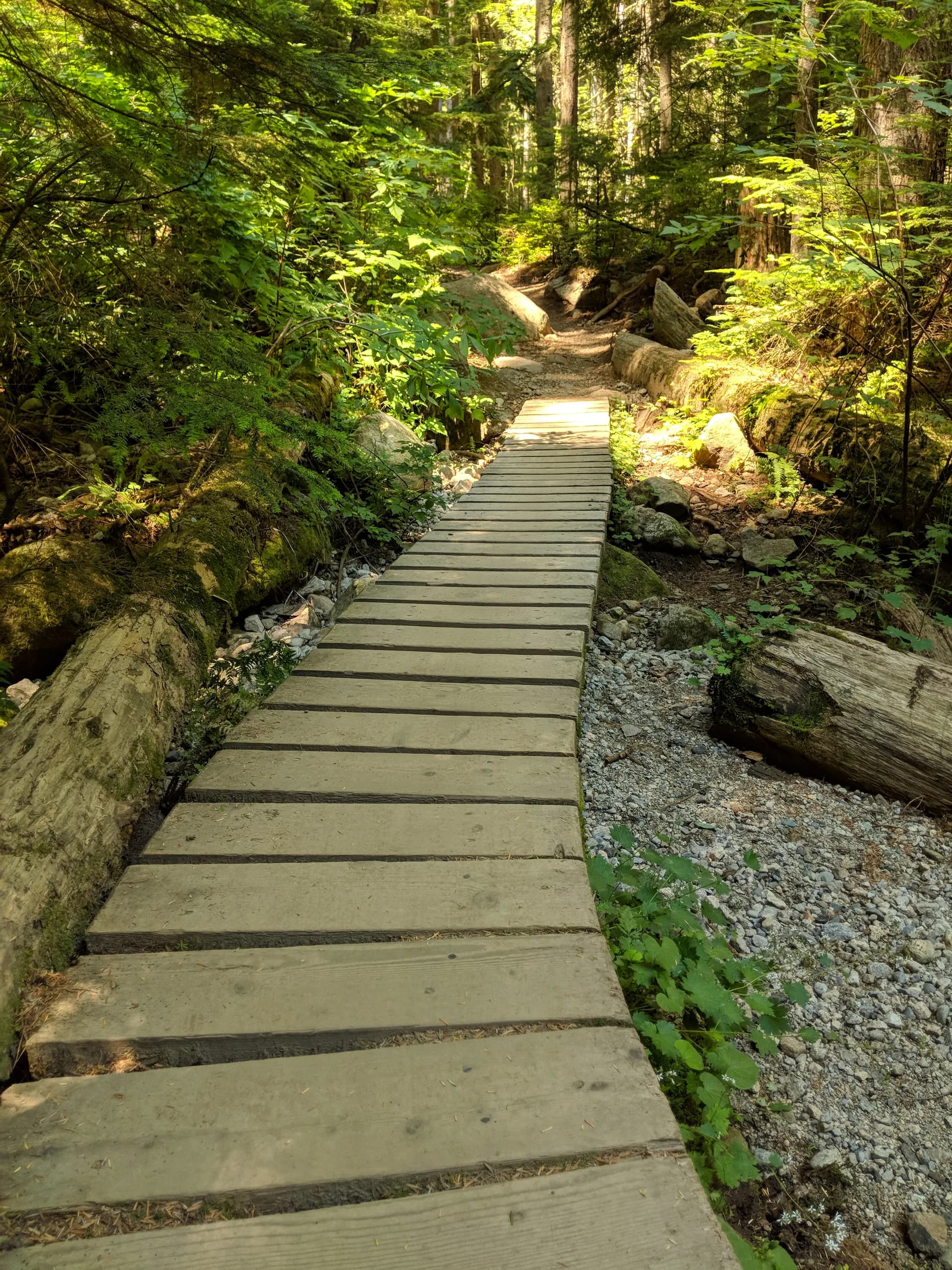
Cedar bridges, wet roots and steep forest trails on Fromme and Seymour.
Explore the trail mapGet to know the Shore.
North Vancouver’s riding is concentrated on Mount Fromme and Mount Seymour. Rocks, roots and wooden structures are part of the terrain here, often on the same trail. A short descent can take more concentration than its distance suggests.
There are gentler ways in. Bobsled offers shaped turns on Fromme, while Empress Bypass is part of Seymour’s adaptive network. Choose a few trails that suit your skills, then check the climb and return before setting out.
Local riding guideWhere to ride
1Mount FrommeFlow trails alongside technical woodwork
Start with the features you can ride confidently
Bobsled and Crinkum Crankum show two sides of this mountain: shaped dirt on one, tight turns and cedar bridges on the other. Do not assume the next trail down has the same character.
AccessUse the NSMBA map to identify the Mountain Highway approach and a complete return to your starting point. Follow parking signs at the mountain.
Mount Fromme
Trails are colored by difficulty.
Numbers mark trails, not trailheads. Highlights do not form a connected route.
2Mount SeymourAdaptive trails, roots & demanding structures
A wide range of trails, with serious expert lines
Empress Bypass is a useful contrast to Boogie Man. The latter has substantial wooden features that demand a very different level of commitment. Keep those differences in mind when linking trails.
AccessCheck the Old Buck connections for Empress Bypass. Mountain bike access is limited to designated trails in Mount Seymour Provincial Park; a path on a map is not permission to ride it.
Local area guideTrail picks
Mapped trail segments, not complete routes.
Include the climb and return in your plan.
Fromme
Bobsled
Shaped corners and a flowing descent make this a useful introduction to Fromme’s newer trail style.
Fromme
Crinkum Crankum
Tight turns and cedar bridges. A more technical choice than Bobsled, with line selection that deserves your attention.
Seymour
Empress Bypass
A descending trail in the adaptive network, reached via Old Buck. Check the approach and current direction signs.
Seymour
Boogie Man
An advanced choice with mandatory wooden structures, skinnies and steep drops. Inspect unfamiliar features before committing.
Ratings and distances are from RidePal’s trail records. Check local grades, current signs and conditions before riding.
Select a trail to see it on the map.
North Vancouver trail picks
Trails are colored by difficulty.
- 1BobsledBlue Square
- 2Crinkum CrankumBlack Diamond
- 3Empress BypassGreen Circle
- 4Boogie ManDouble Black Diamond
Numbers mark trails, not trailheads. Highlights do not form a connected route.
When to go
Spring
Plan around the elevation of the whole ride. Check recent reports for snow, saturated ground and winter damage before heading farther up either mountain.
Local notesSummer
Longer days give you more time to explore, but each trail still needs checking. Build the first day around a small selection rather than a long chain of unfamiliar descents.
Local notesAutumn & winter
Allow for short days, rain and slippery roots and wood. Look for current reports and respect closures. A clear road at the bottom does not tell you what is happening higher up.
Local notesBefore you go
Read the local rating.
NSMBA considers features, width, surface and exposure when grading trails. Start below your usual limit until you know how the Shore’s terrain feels under your tires.
Local notesCheck your connections.
Map the climb, descent and return together. Our trail distances describe individual mapped segments, not the total effort needed to get back to the car.
Local notesSupport NSMBA.
Use the association’s maps and trail information before your ride. Memberships and donations help support the people maintaining the trails you came to ride.
Local notesTake the trail map with you.
Trail maps and ride tracking on your phone. Offline navigation with RidePal Pro.


 RidePal app · example map
Browse all 230 mapped trails
230 trails shown. Distances refer to individual mapped segments.